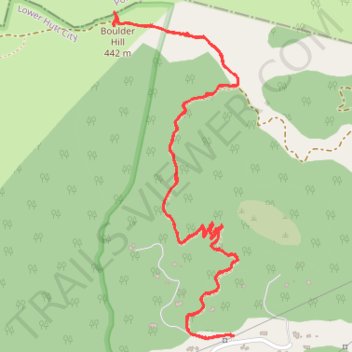
Boulder Hill walk
- Distance: 5.4 Km
- Elevation gain: 298 m
- Maximum elevation: 441 m
- Elevation loss: 299 m
- Minimum elevation: 215 m
- Moving time: 1 h 12 m
- Moving speed: 4.5 Km/h
- Maximum speed: 7.2 Km/h
- Total time: 1 h 49 m
- Global speed: 3.0 Km/h
Interactive trail map
Trail profile
- Distance: 5.4 Km
- Elevation gain: 298 m
- Maximum elevation: 441 m
- Elevation loss: 299 m
- Minimum elevation: 215 m
- Moving time: 1 h 12 m
- Moving speed: 4.5 Km/h
- Maximum speed: 7.2 Km/h
- Total time: 1 h 49 m
- Global speed: 3.0 Km/h
About this trail
Name: Boulder Hill walk trail, distance, elevation, map, profile, GPS track
Coordinates: -41.16318 174.93688 -41.15189 174.94263
Topography: Lower Hutt topographic map, elevation, terrain